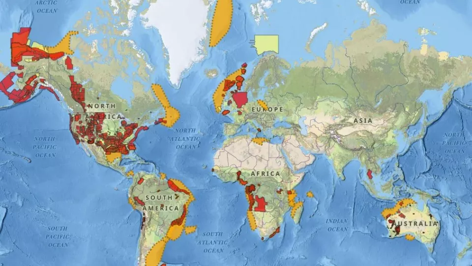
Tackle natural resource and energy transition challenges with GeoVerse
Powered by GeoVerse digital earth science, Viridien offers a unique family of tools designed specifically for today’s digital earth scientists, and all built using the same global taxonomy, intuitive user interface and platform-agnostic cloud accessibility. Together, these tools bring you the richest, most comprehensive and diverse range of public and proprietary geological data sets: re-processed, standardized and ready for analysis and interpretation.
GeoVerse Products
An industry leading Earth database designed for researchers, geoscientists, and engineers across multiple disciplines, GeoVerse maximizes productivity through cloud-hosted applications populated with rich, unique and public domain data.
Discover+
Discover+ applications are for teams interested in unique datasets acquired by Viridien. Over the past 60 years, we have conducted extensive fieldwork programs and amassed the world’s largest multi-client library of geological data. These applications make data screening and decision-making easier than ever.
Analytics
Data Analytics applications are bespoke cloud-hosted dashboards underpinned by our comprehensive GeoVerse database. This tier favors specialists looking for detailed analysis, including in-depth data interrogation and interpretation using charting functions, mapping and tabular datasets with exporting options.
GeoWells
GeoWells provides unprecedented access to key well data in the world’s most valuable hotspots. Specially selected by in-house subject matter experts, the chosen wells undergo rigorous re-processing for fully consistent and analytics-ready data, and intuitively designed dashboards allow for rapid identification and interpretation of well data.
Security is our priority
Our cloud-hosted technologies are underpinned by strict security and privacy measures to ensure data is protected safely stored in servers across multiple geographies.
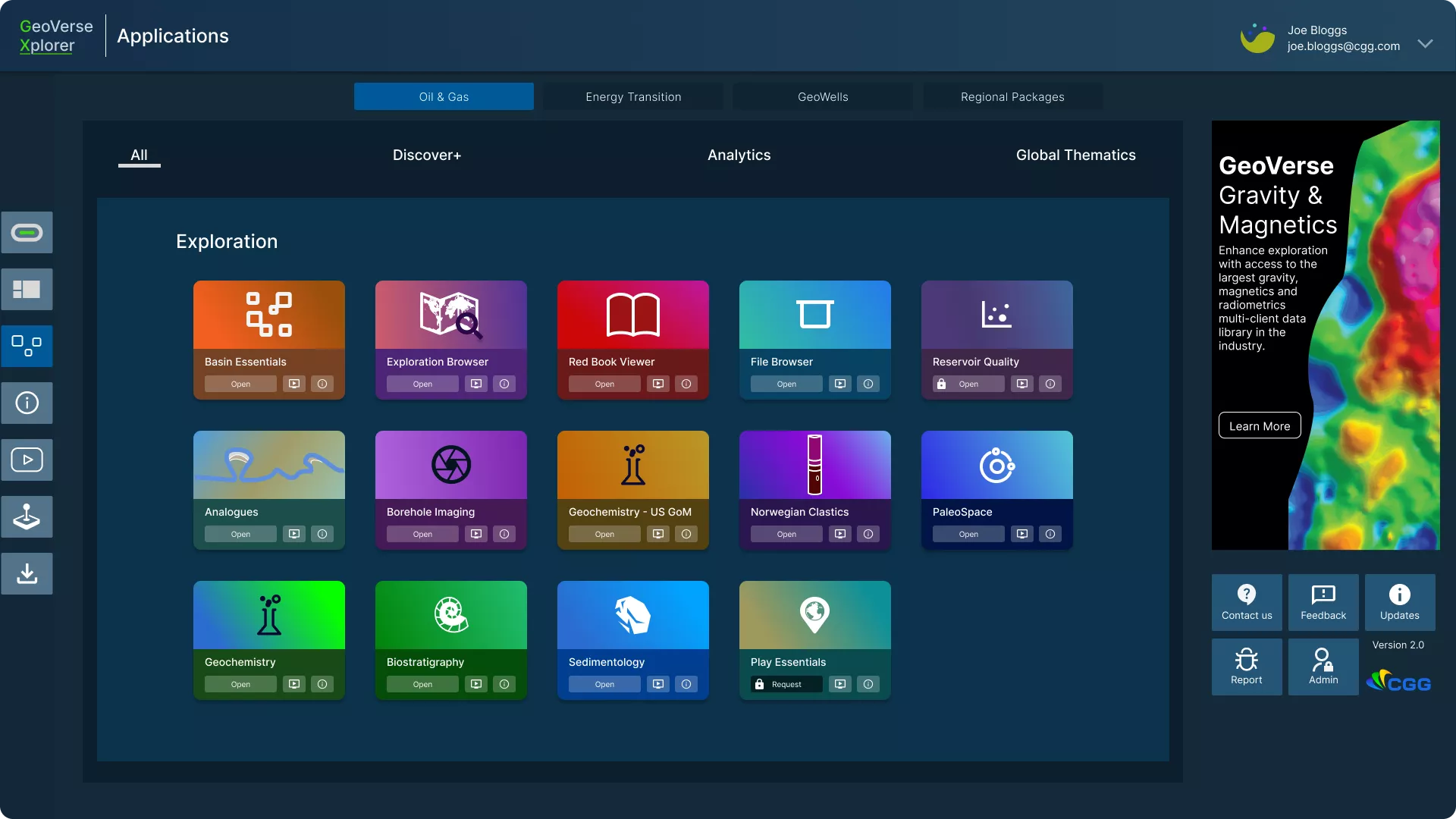
Analyze data anytime, anywhere using Xplorer
Experience the power of GeoVerse with the brand-new GeoVerse Xplorer platform. This one-stop solution brings all your licenses into one space so you can access your data with a click of a button.
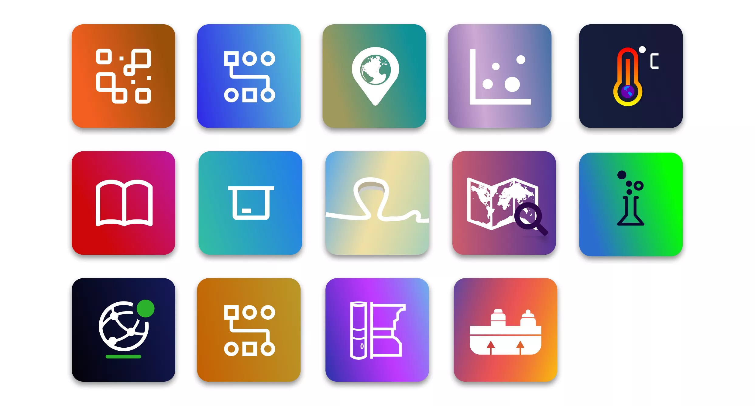
Access curated data with domain-specific apps
GeoVerse applications allow you to access and interpret data for your workflows and projects. All applications are driven through our innovative GeoVerse Xplorer platform that acts as a hub for licensed products, providing you with access to all your data needs from one single location.
A game-changing database. An unrivalled experience.
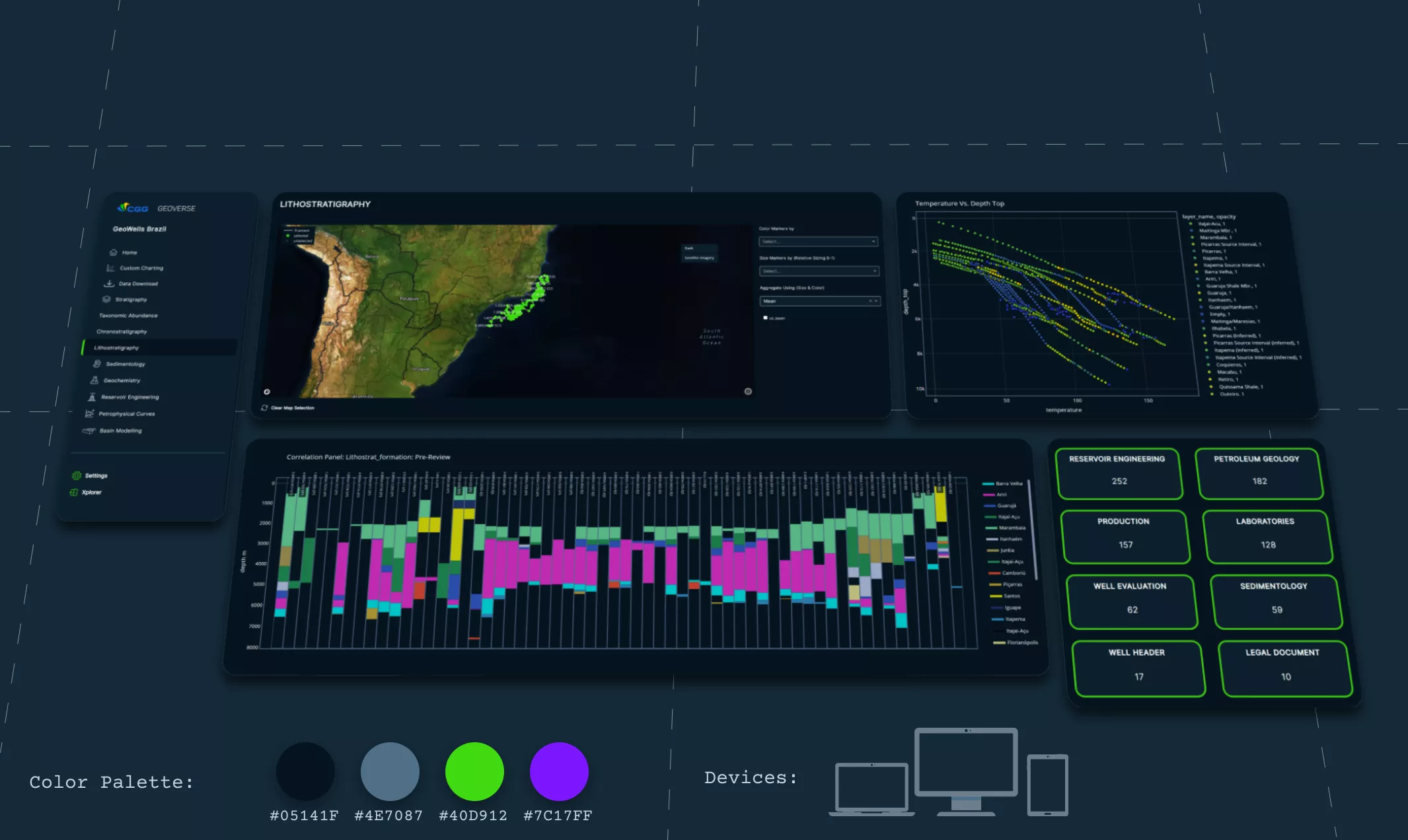
User-centric design
Navigate GeoVerse datasets intuitively with our user-friendly interface. From the color pallet to the size and positioning of charts and maps, each element is designed to create a engaging experience to increase productivity.

Cross-tab filtering
Have complete control over your analysis with cross-tab filtering to promote multi-disciplinary interpretations. Each menu tab offers data-rich dashboards with key filtering parameters to narrow down your search.
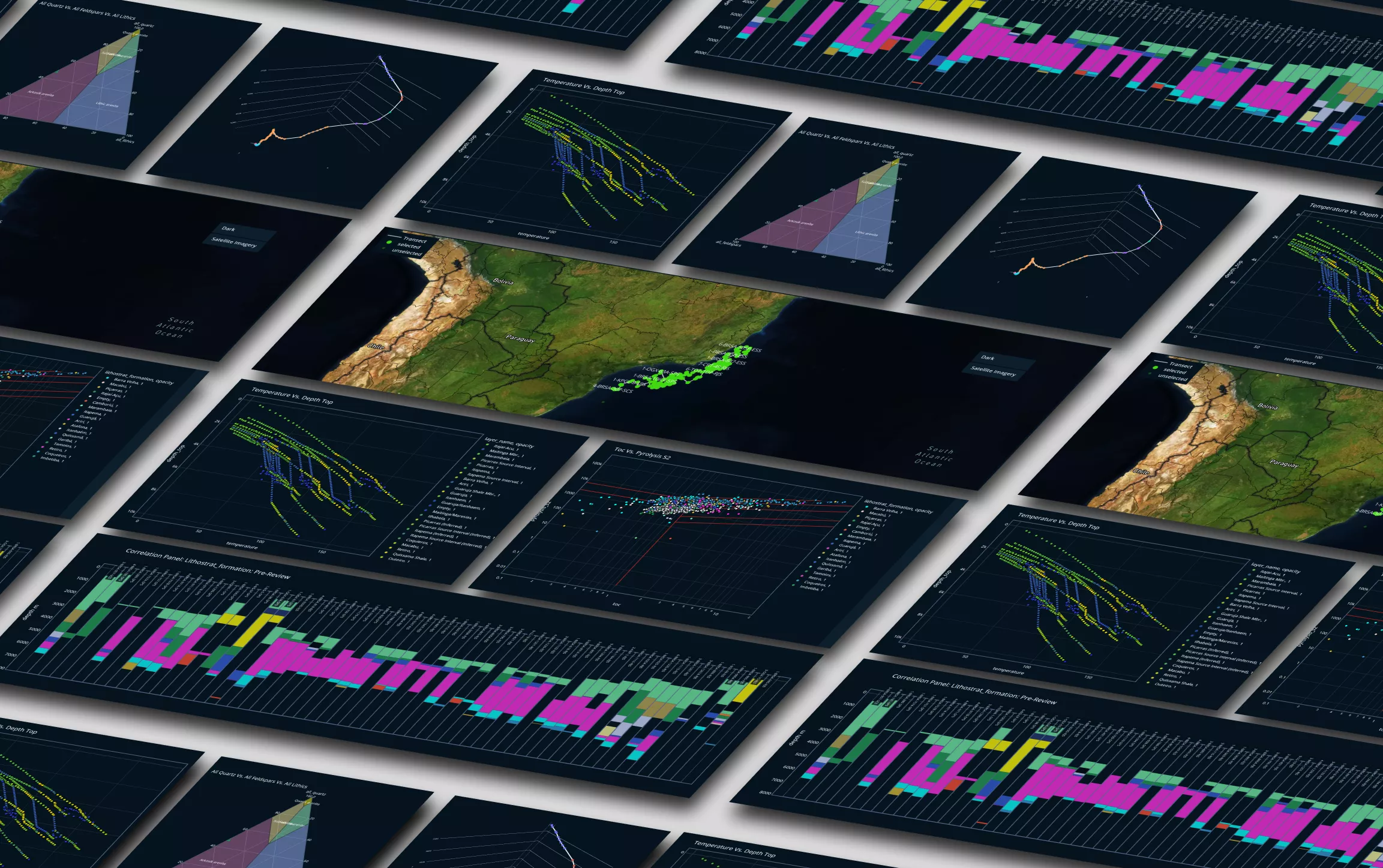
Real-time charting and mapping
Make more informed, up-to-date decisions. From custom-built correlation charts for chronostratigraphy and lithostratigraphy to multi-axial graph plots for petrophysics and basin modelling, all our applications provide real-time analytical results.


