Mineral Exploration Services
Data and insights for key exploration decisions
Viridien is committed to being the partner of choice for mineral exploration by combining cutting-edge technology-led techniques with a solid foundation in traditional exploration procedures. We provide honest, unbiased and well-rationalized opinions and recommendations on bespoke projects with the goal to provide our clients with the data and insights they need to make key project decisions without excessive expenditure and exposure to risk.
- Integrated exploration services
- Geophysics and seismic imaging (airborne, land, marine, borehole)
- Satellite mapping and remote sensing
- Laboratory services
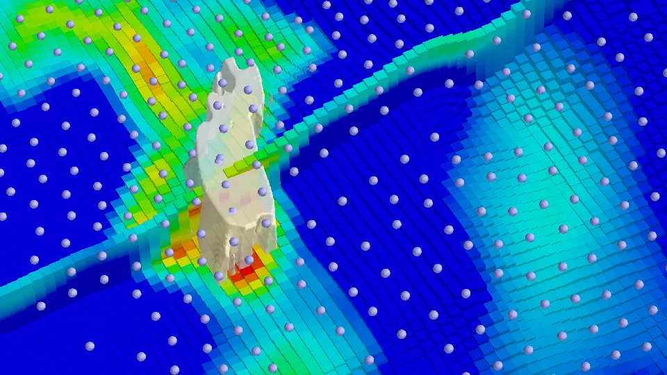
- Exploration datasets and Earth models
Exploration for critical minerals
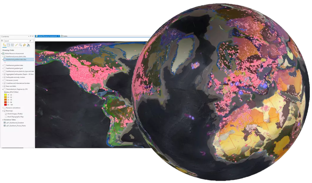
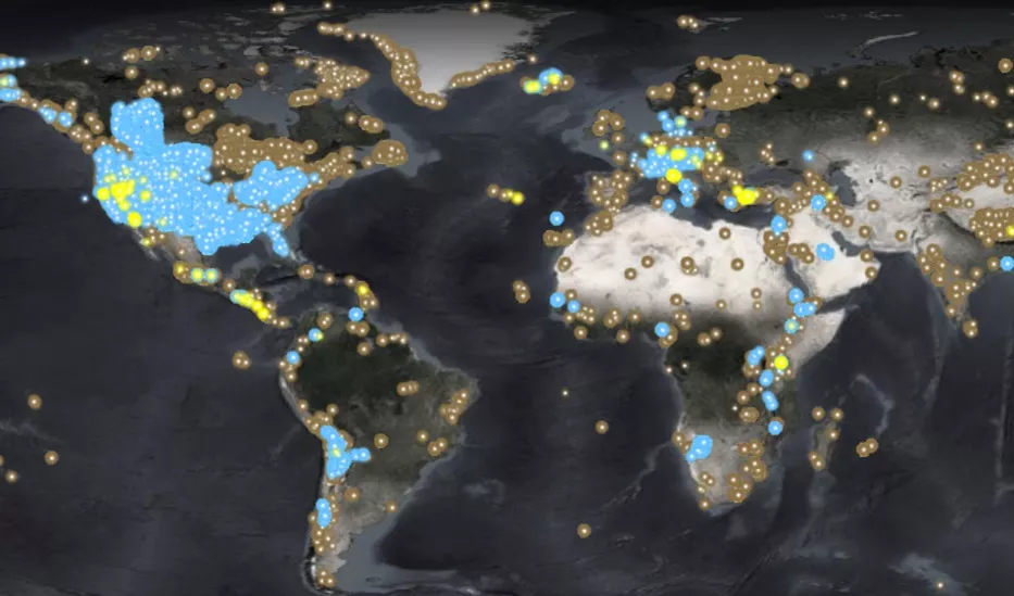
Leveraging Viridien’s position as a global geoscience technology leader, GeoVerse Critical Minerals addresses a wide spectrum of mineral exploration initiatives, including supporting assessments for geothermal, lithium and carbon sequestration projects in line with energy transition imperatives:
- Collaboration and guidance from discipline experts
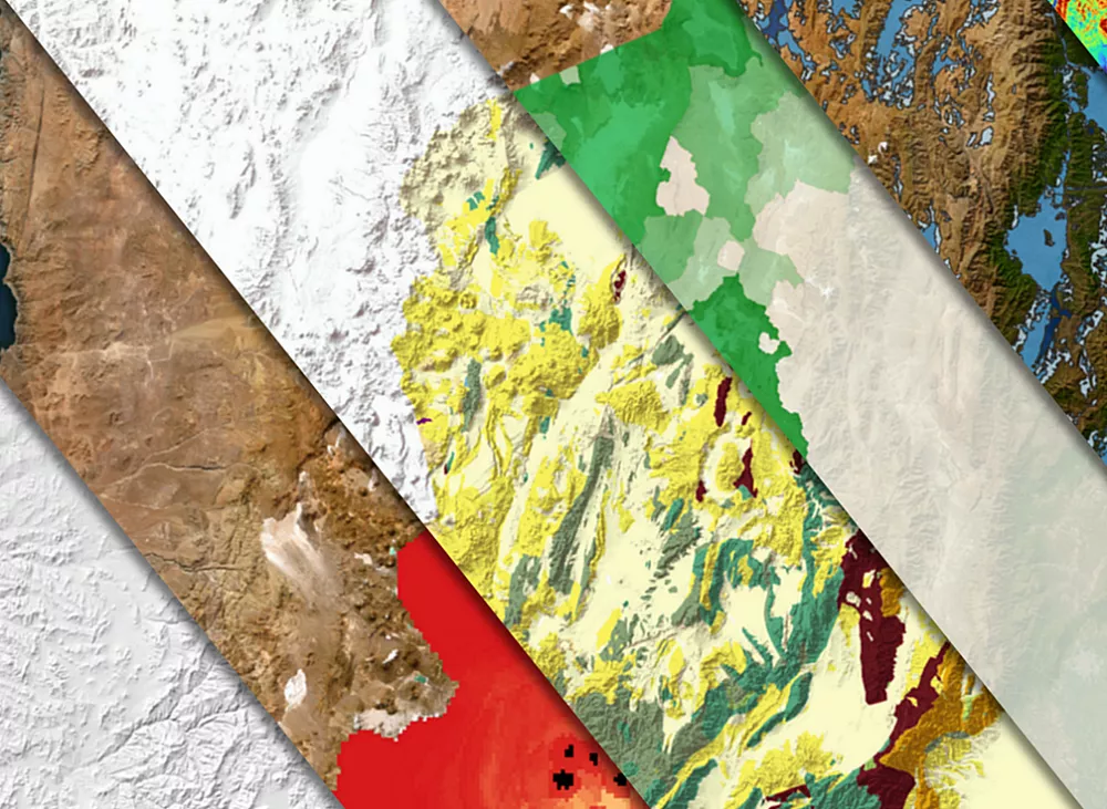
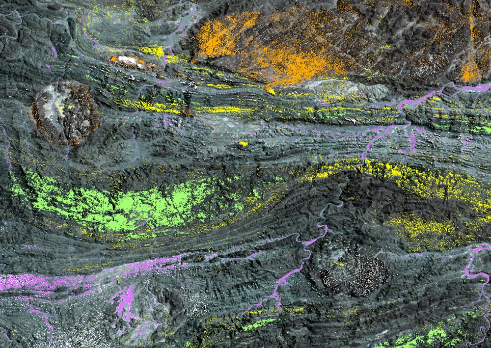
- World-class geological and satellite mapping
- Global database of key characterization criteria, including water chemistry and flow rates
- Data conditioning and QC
- Project reporting and recommendations
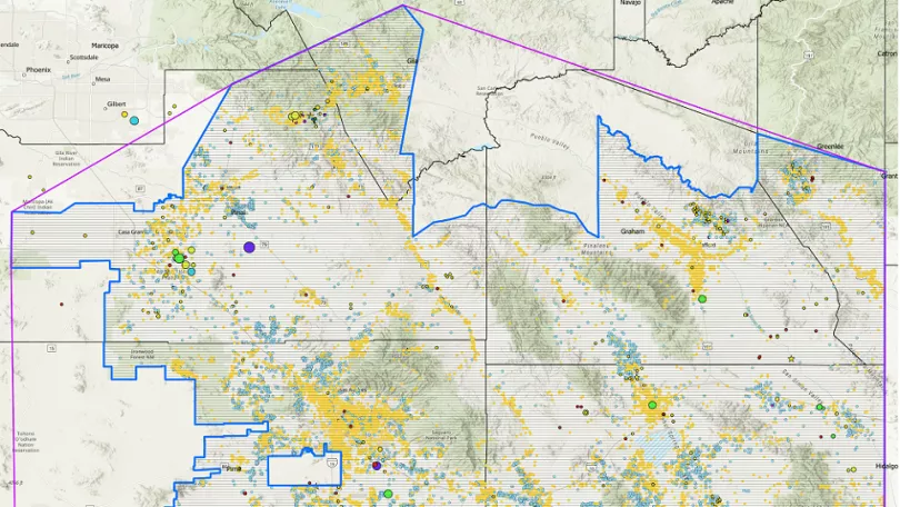
All the data you need: Southeast Arizona Project
The Southeast Arizona roject offers more than 55,000 km2 of geophysical and geological data, creating a true one-stop shop for one of the United States’ most active mining regions:
- New high-resolution multiphysics acquisition: airborne magnetics, radiometrics, gravity and more
- Full complement of legacy multiphysics data, including land gravity
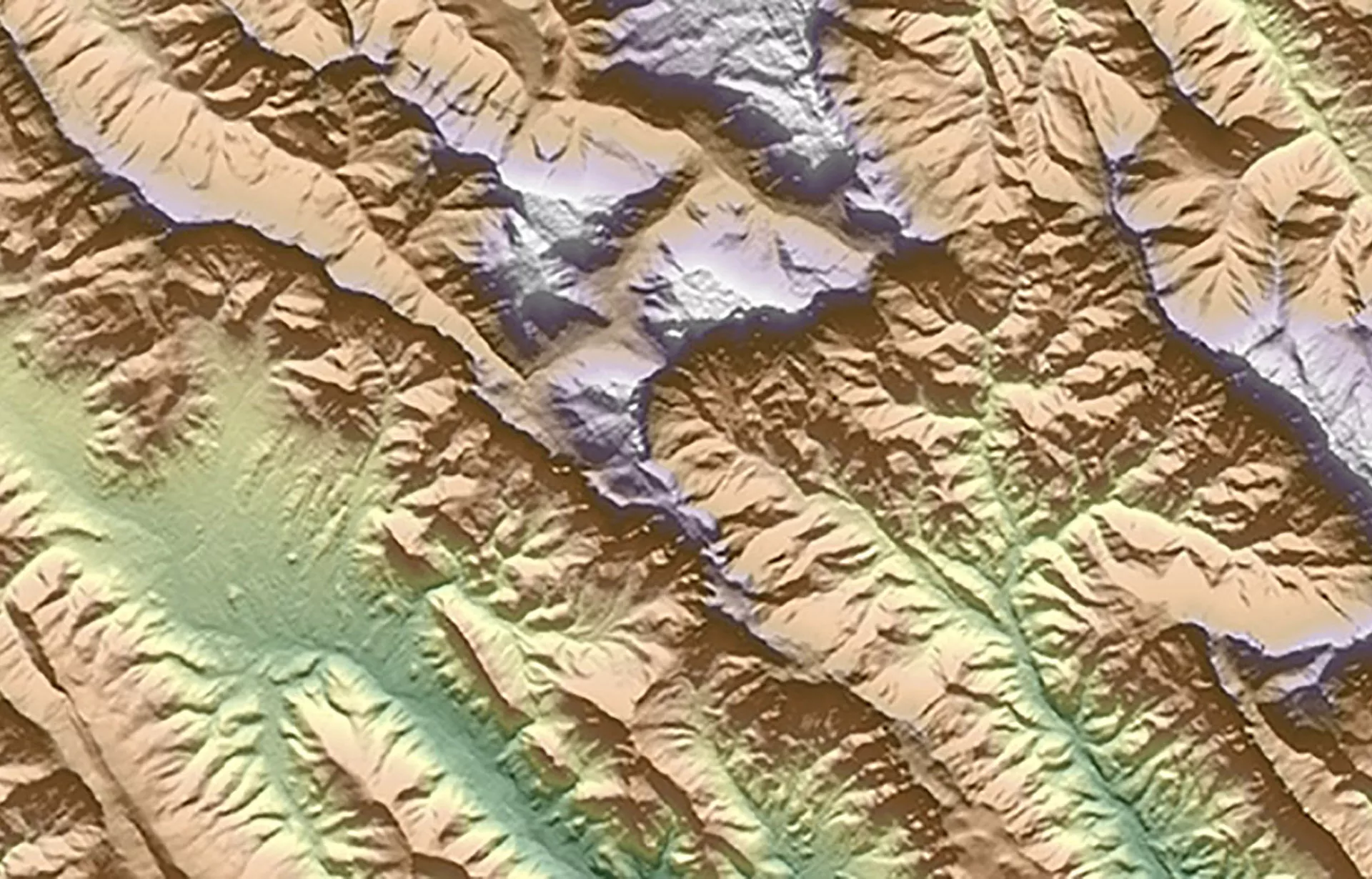
- Reprocessed and interpreted satellite data: multi-spectral, digital elevation modeling (DEM), drainage and structural maps
- Key geological data from boreholes, oil wells, gas wells and water wells
- Digitized cross-disciplinary geological and mining data: geochemistry, geochronology, paleo-data and more
