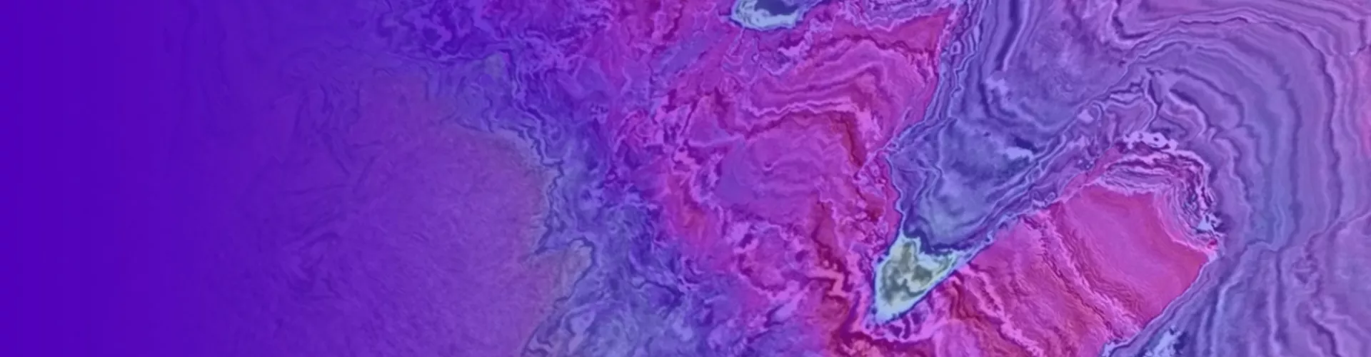
Subsurface Imaging
Enhance your exploration, reduce risks and increase operational efficiency with industry-leading seismic imaging technology.
Exceptional People, Remarkable Technology, & Outstanding Service
Viridien combines unmatched geoscience expertise with AI-enhanced workflows to achieve higher subsurface imaging accuracy for informed decisions in exploration and production, and carbon storage site selection and critical mineral discovery. Our imaging teams use advanced machine learning models to leverage immense datasets and streamline the interpretation of subsurface structures, detect resources, and improve the identification of promising zones.

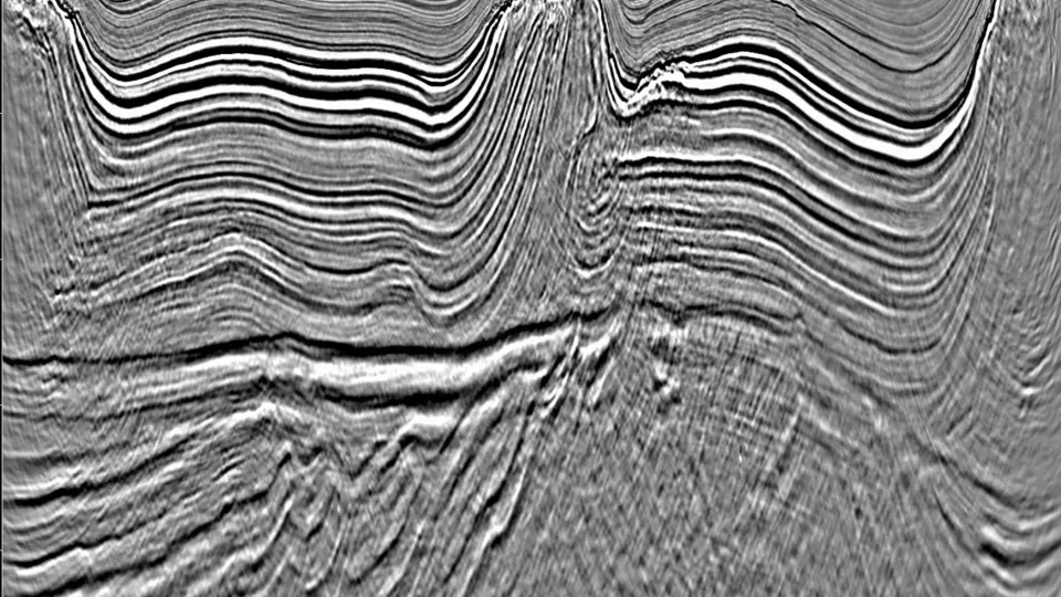
Full Waveform Inversion (FWI)
Generate detailed, data-driven models of the subsurface with elastic full-waveform inversion and FWI Imaging derivatives.

Ocean Bottom Node (OBN) Seismic
Get closer to the reservoir with expert seismic imaging of ocean bottom node (OBN) data.

Time-Lapse 4D Seismic
Achieve accurate reservoir monitoring with expert time-lapse 4D seismic imaging.
Multiple Attenuation
Remove internal and interbed multiples with data-driven internal multiple attenuation (IMA).

Least-Squares Migration
Improve seismic imaging with data-driven least-squares migration (LSM).

Geovation Software
Our benchmark software for seismic data processing and imaging has evolved from over 45 years of expertise in geophysical software.
Peter Whiting interviewed by Upstream Online about Viridien’s Laconia sparse OBN survey
At EAGE 2025 in Toulouse, Peter Whiting discussed the power of Viridien’s latest seismic technologies for unlocking the US Gulf Subsalt.
Regional Case Studies
Read real-world examples where Viridien’s subsurface imaging has driven positive outcomes, reduced operational risks, and supported energy transition goals for leading NOCs and IOCs.


Latest Resources and News
View all
Viridien completes reimaging of BM-S-2 multi-client survey in Brazil’s southern Santos Basin
Paris, France | Dec 22, 2025Viridien has successfully completed the BM-S-2 seismic reimaging project in the southern Santos Basin, delivering a modern, high-fidelity 3D dataset across 8,468 sq km to support growing exploration activity in one of the most strategic, emerging offshore regions of Brazil.
Viridien featured in New Scientist: how geophysicists are reverse engineering the Earth
Viridien experts discuss how visualising the geological structures beneath our feet requires vast seismic datasets, advanced imaging algorithms and a spirit of deep curiosity. ...
Towards High-Resolution Land Elastic FWI?
Structural distortions are frequently encountered in Abu Dhabi area with significant velocity heterogeneity and complex geological features. Due to the unique challenges, FWI often struggled to accurately resolve small-scale distortions. The hard sea ...
SEG Advancing Data Analytics & Machine Learning for Exploration Geophysics 2026
We're proud sponsors of the SEG Advancing Data Analytics & Machine Learning for Exploration Geophysics workshop ...

