Southeast Arizona Project
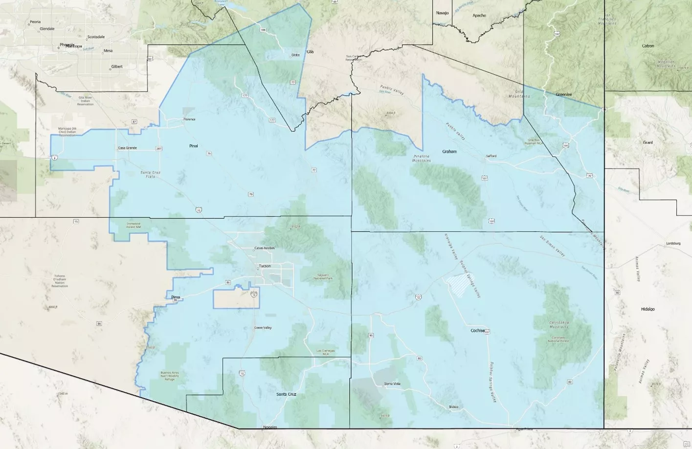
The Southeast Arizona Project offers over 55,000km2 of geophysical and geological data in one of the most active mining regions in the US, powered by Viridien's GeoVerse technology.
The most comprehensive cross-disciplinary dataset in Arizona, the project leverages Viridien's experience and expertise across data science, satellite imaging, multi-physics, geology, seismic and minerals systems.

Southeast Arizona Project Details

Project overview
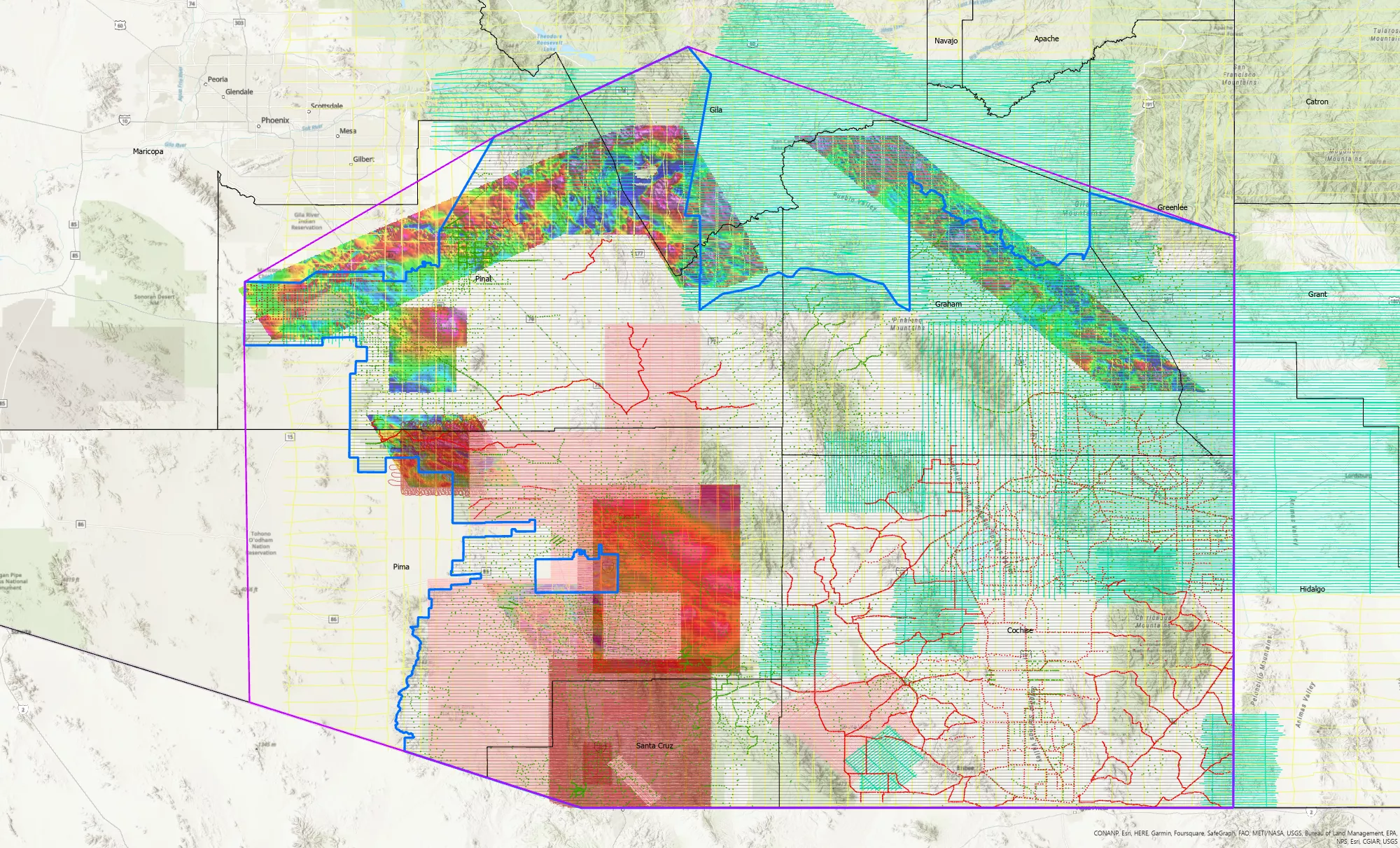
The Southeast Arizona Project brings together a comprehensive, consistent, cross-disciplinary dataset of all available data that contributes to a mining exploration workflow. The project includes fully quality-checked, harmonized and integrated datasets across all stems using Viridien's GeoVerse technology architecture, creating a true one-stop shop for Arizona mining data.
The project provides access to:
- New high-resolution multiphysics acquisition - including airborne magnetics, radiometrics and gravity
- A full complement of legacy multiphysics data - including land gravity
- Reprocessed and interpreted satellite data - including multi-spectral, DEM, drainage and structural maps
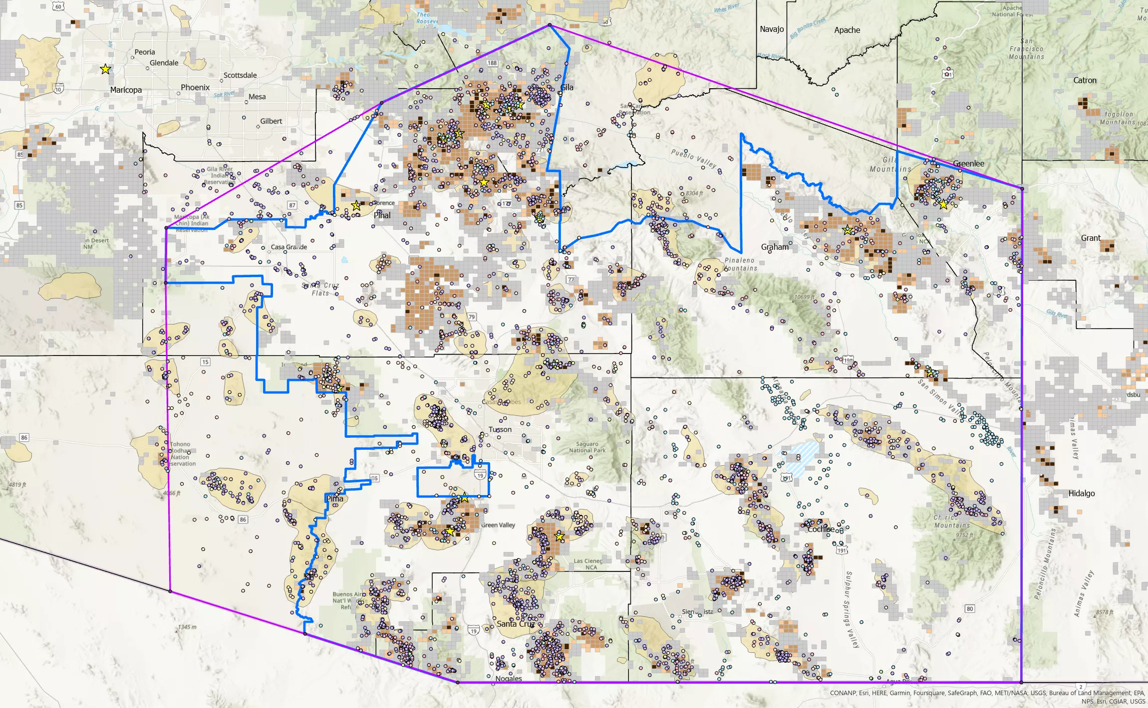
- Key geological data from a full suite of boreholes, oil & gas wells and water wells
- Digitized cross-disciplinary geological and mining data - including geochemistry, geochronology, paleo-data and more

What makes our Southeast Arizona Project unique?
- Size, Scale, Scope and Ambition - The Southeast Arizona Project covers over 55,000km2 in one of the most active regions in the US. Viridien will aggregate all known available geophysical, geological and mining datasets and supplement them with new acquisitions on a truly massive scale. Southeast Arizona will be the last dataset you need to explore in a region known for both its proven and potential resources.
- Multi-Client Commercial Model - Acquiring new data can often be expensive, time-consuming and a hassle to manage. Understanding this, Viridien has opted to license the Southeast Arizona Project on a multi-client basis to extend the reach of your exploration budgets and save you time.
- Powered by GeoVerse - Viridien's proprietary data platform, GeoVerse, will allow for seamless data integration across a wide range of disciplines and data types. The complete and consistent nature of data within GeoVerse facilitates the interpretation and interrogation of data at scale on day one.
Southeast Arizona Data

GeoVerse for Mining
With the power of GeoVerse, data accessibility and usability have never been easier. Utilizing a robust pipeline of data specialists and geoscientists, our data-driven taxonomy means you never have to worry about your data source and attributes. Only with GeoVerse can you interact with fully integrated cross-disciplinary datasets from multiple sectors. This is why GeoVerse is regarded as the industry leader in Earth data analytics.


