StagSeis Gulf of Mexico Seismic Surveys
Optimize decisions with enhanced subsalt imaging
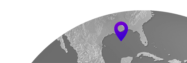
Our three StagSeis™ Gulf of Mexico surveys, IBALT, Deux and Trois, deliver outstanding subsalt images. Full azimuth coverage addresses the most challenging sub-salt areas with improved illumination beneath complex overburdens.

Highlights
- Acquired with a patented acquisition design, surveys cover 20,300 km2 in the Central Gulf of Mexico with outstanding imaging of complex subsalt geology
- Broadband data recorded from two streamer vessels and three source vessels in a staggered configuration for full azimuth coverage up to 9 km and ultra-long offsets to 18 km for optimum illumination
- The StagSeis configuration provides a more accurate velocity model for reservoir-quality data that helps de-risk and optimize drilling decisions
- Available products include a TTI RTM PSDM, a TTI Kirchhoff PSDM and a TTI CBM PSDM
Deux Reimaging Program
Using the latest imaging technology, such as time-lag FWI, Viridien has completed the Deux Reimaging Program, located in the U.S. Gulf of Mexico. Deux Reimaging has used StagSeis Deux seismic data, as well as WAZ and NAZ surveys from Walker Ridge and Green Canyon, and it covers 62.5 blocks. Final products are available now.
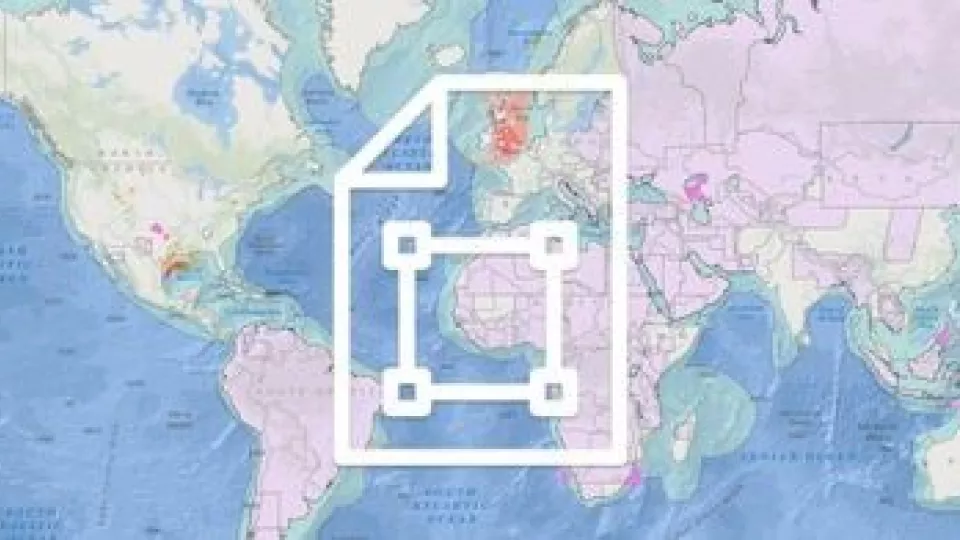
Request a Shapefile
Learn more about our multi-client library coverage. Request a zipped Gulf of Mexico shapefile (.shp) for your region of interest.
Related Surveys

Reimaging Gulf of Mexico
Bring new value to legacy data sets with advanced reprocessed seismic data for the Gulf of Mexico.

Alaminos Canyon C-WAz
Access full azimuthal coverage and improved imaging of complex geological structures in the Gulf of Mexico.

Mississippi Canyon
Improve model accuracy and image quality in the Gulf of Mexico subsalt with our OBN seismic imaging.
Explore available multi-client data using our interactive map.
Explore the GeoStore