Viridien releases latest phase of Gulf of Mexico Carbon Storage Study to support upcoming lease rounds
Paris, France | Aug 28, 2024
Viridien has released phase 2 of its GeoVerse™ Carbon Storage Screening Study of the Gulf of Mexico after the successful delivery of phase 1 last year. The final product complements Viridien’s multi-client seismic data to provide comprehensive subsurface data coverage over the US Gulf of Mexico shallow waters and coastal areas. Its timely delivery will accelerate the screening process to identify the high-potential areas on offer in the upcoming Texas General Land Office and School Land Board Request for Proposals for several carbon sequestration leases.
Both phases of the screening study are available for licensing now. The full product provides a unique integrated package of interactive ArcGIS-compatible screening maps, digitized well data and merged legacy seismic data across the attractive shallow water shelf of the Gulf of Mexico basin where several large-scale aquifer stores are available throughout the stratigraphic section.
Dechun Lin, EVP, Earth Data, Viridien, said: “This new Gulf of Mexico study is located over a key area of interest for the CCUS industry with a number of licenses already offered for carbon storage and more licensing rounds to come. With our growing footprint of screening studies in the world’s most promising regions, we are helping to address the global industry challenge of accelerating CCUS with our subsurface data, data science and geoscience expertise. Viridien is committed to helping operators to identify the areas with the most potential by providing a robust and globally consistent approach to carbon storage screening.”
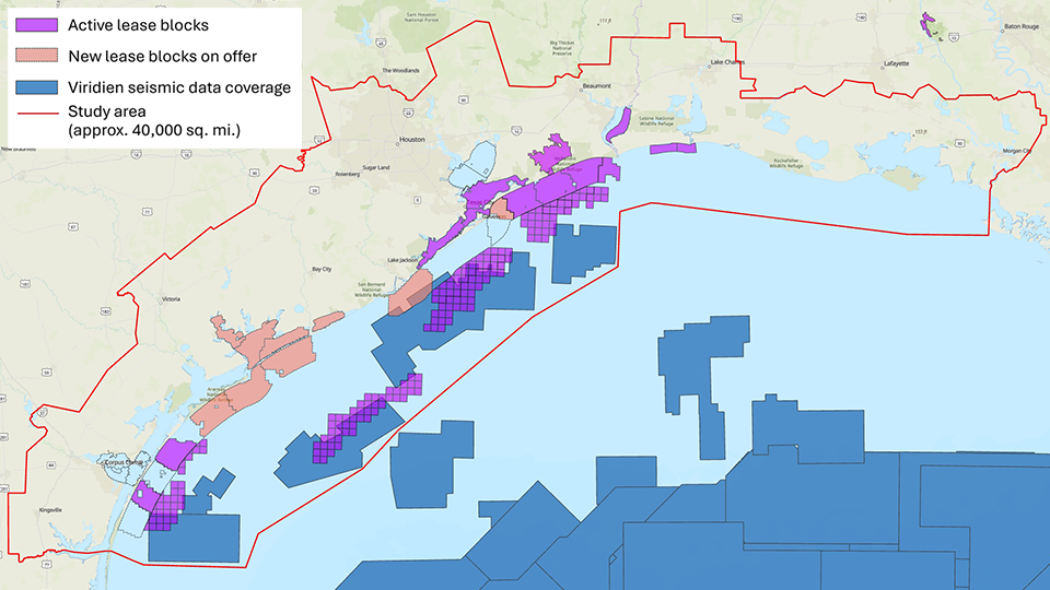
Map showing the total coverage of Phases 1 and 2 of Viridien’s Gulf of Mexico Carbon Storage Screening Study (image courtesy of Viridien Earth Data).
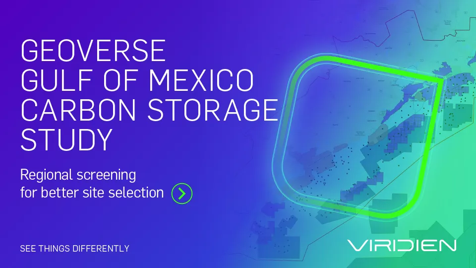
Brochure | GeoVerse Gulf Of Mexico Carbon Storage Study
Request a brochure about Viridien’s Gulf of Mexico Carbon Storage Study
About Viridien
Viridien (www.viridiengroup.com) is an advanced technology, digital and Earth data company that pushes the boundaries of science for a more prosperous and sustainable future. With our ingenuity, drive and deep curiosity we discover new insights, innovations, and solutions that efficiently and responsibly resolve complex natural resource, digital, energy transition and infrastructure challenges. Viridien employs around 3,500 people worldwide and is listed as VIRI on the Euronext Paris SA (ISIN: FR001400PVN6).