Denmark
Gain an exploration advantage with 3D broadband seismic data
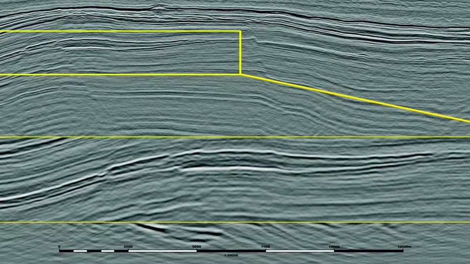
Explore the Danish Central Graben with confidence using Viridien’s 3D broadband seismic data, acquired in collaboration with Danpec A/S. The CGM13 Denmark survey covers the Tail End Graben and the boundary Coffee Soil Fault system, focusing on the Upper Jurassic, Early Cretaceous and Paleocene sections.

Highlights
- 1,020 km2 of 3D BroadSeis™ broadband seismic data, with low and high frequencies delivering enhanced resolution and improved imaging
- Detailed mapping of complex traps and subtle plays, some of which are associated with amplitude anomalies
Request a Shapefile
Learn more about our multi-client library coverage. Request a zipped shapefile (.shp) for your region of interest.
Related Surveys

33rd UK Licensing Round
Jump-start your North Sea development plans with the most recent and advanced seismic data.
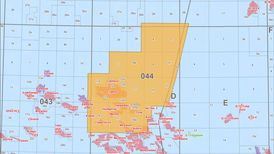
Southern North Sea
Access in-depth imaging of Quad 44 with Viridien’s long-offset 3D seismic survey, covering the Cygnus gas discovery.
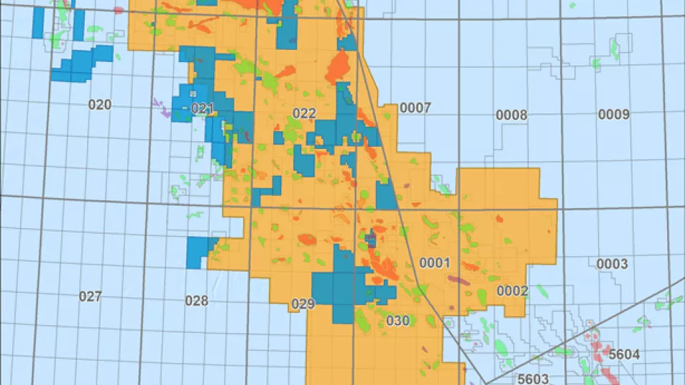
Cornerstone Surveys
Get comprehensive seismic data coverage for the Central North Sea, including 50,000 km2 of PSDM data.
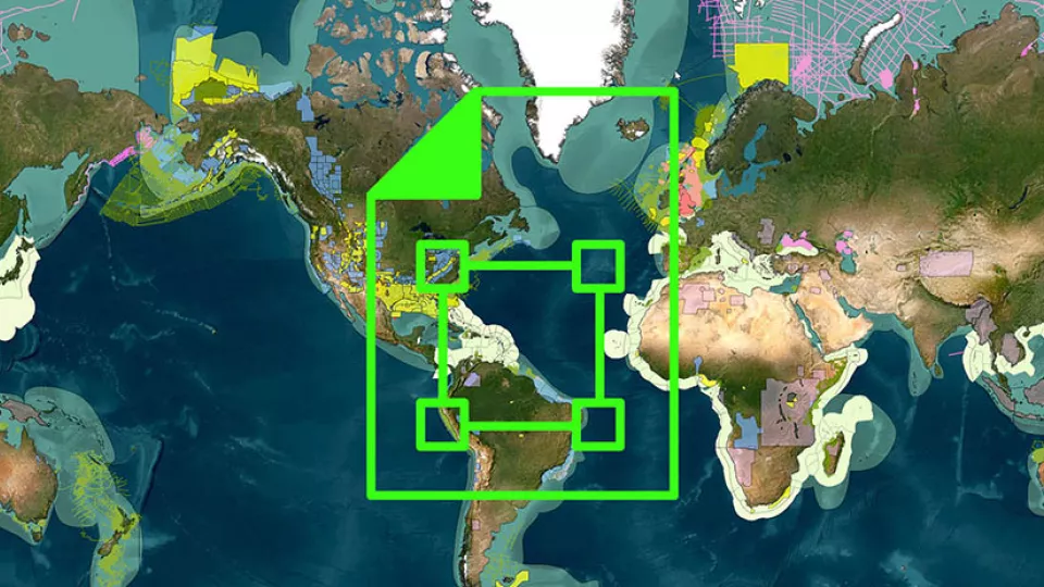
Explore available multi-client data using our interactive map.
Explore the GeoStore