Bare Earth Plus
Our unique model reveals the barest Earth, delivers the best signal to noise ratio, and provides the best spectral derivatives possible
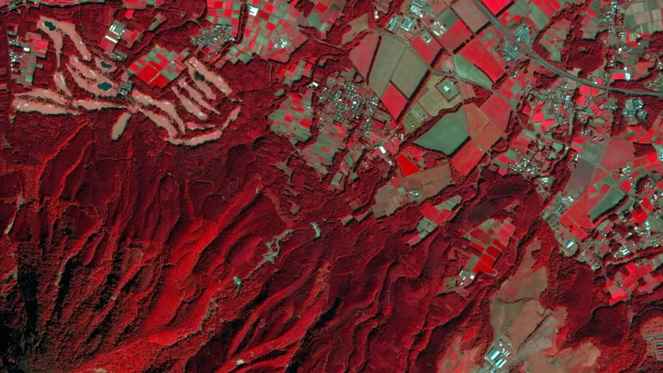
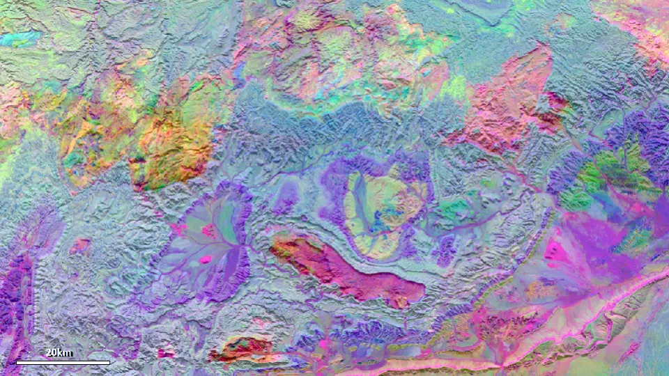
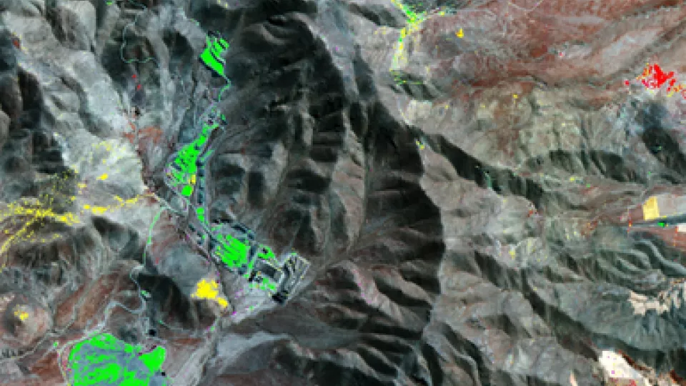
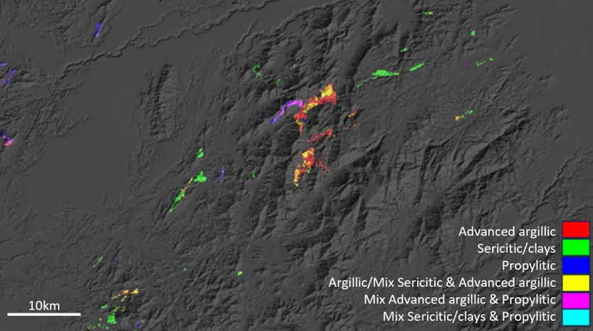
Bare Earth Plus helps you to identify and prioritize your exploration targets, supporting efficient, confident decision-making across the natural resource and energy sectors. We have taken a significant step beyond standard ASTER Bare Earth models to create an enhanced representation of the Earth’s surface in its barest form, enabling the most representative, independent and comprehensive spectral information to be derived.
Viridien’s 500 petaFLOPS of HPC capacity enables rapid, custom processing of entire archives of satellite imagery from target sensors across your areas of interest — regardless of size and scale. Our teams of remote sensing scientists, spectral geologists, mineral systems experts and data scientists closely steer and evaluate processing to ensure you receive targeted spectral information that is directly aligned with your exploration requirements.

Processing tailored to your specifications and delivered in full
Our highly tailored spectral processing is driven by your needs, while our firm belief in full transparency across our remote sensing solutions ensures clear end-to-end communication and results you can be confident in.
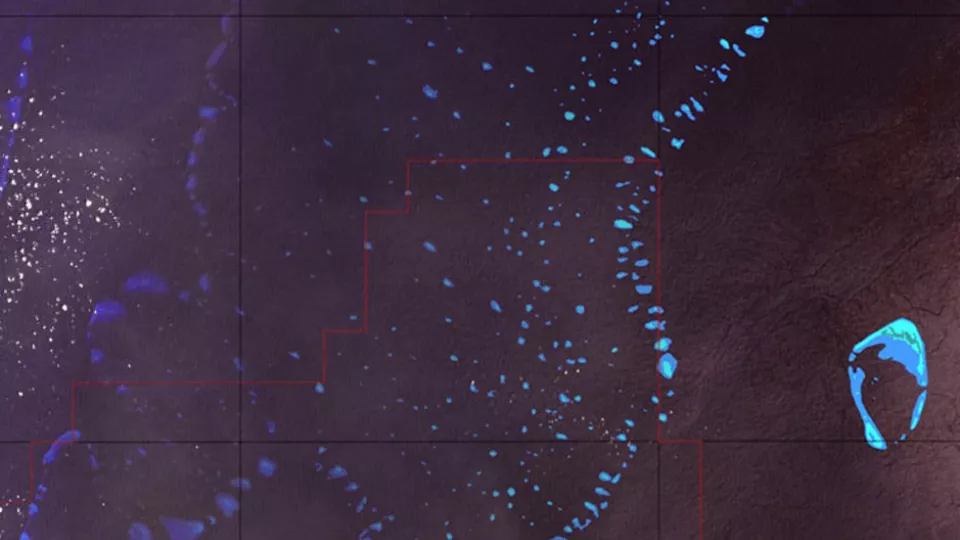
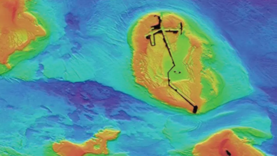
We deliver all data and derivatives without geographic restrictions or subscriptions. Our deliverables also include our custom visualization keys to simplify the interpretation of complex datasets, with full, clear reporting.
Get exploration teams on the right ground, fast
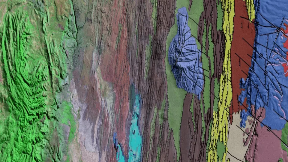
Understanding spectral information in a mineral systems context is challenging, especially if considered in isolation. Geological contextualization is critical. Viridien's tailored mineral systems exploration packages leverage our remote sensing and geological expertise with our advanced AI and HPC capabilities, helping you target and prioritize your field campaigns.
Visit our blog to learn more
Read more about our unique models, mineral system-controlled deliverables, and expert minerals and mining consulting service