SatExplorer
Your one-stop platform for analyzing Viridien’s satellite mapping data hand-in-hand with expert domain support
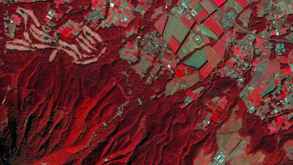
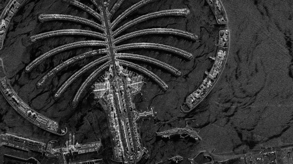
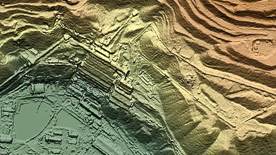
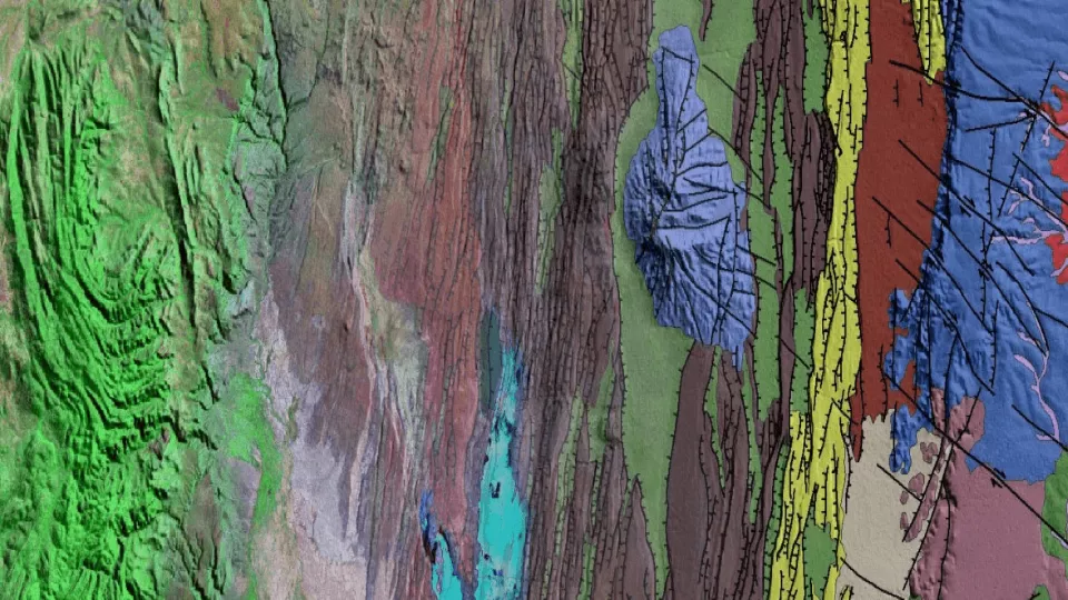
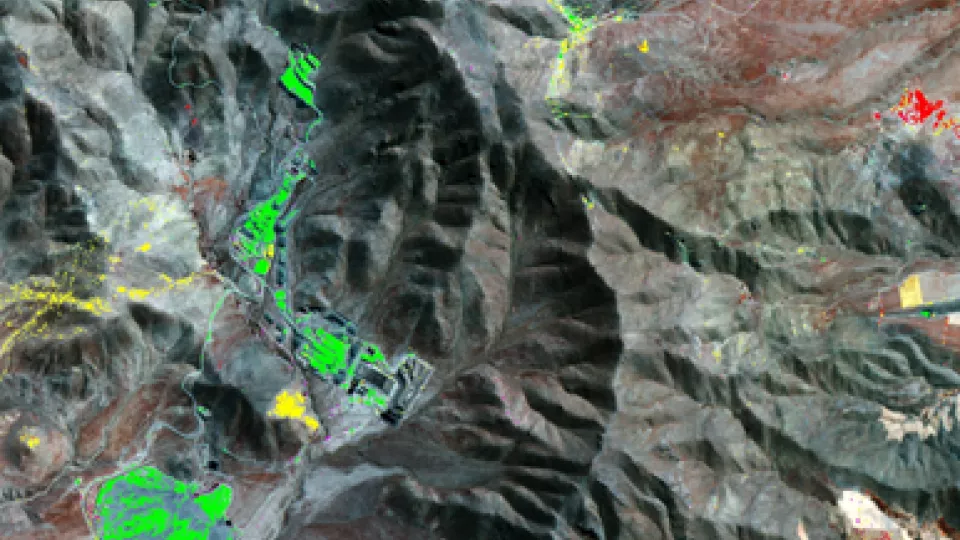
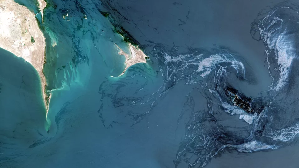
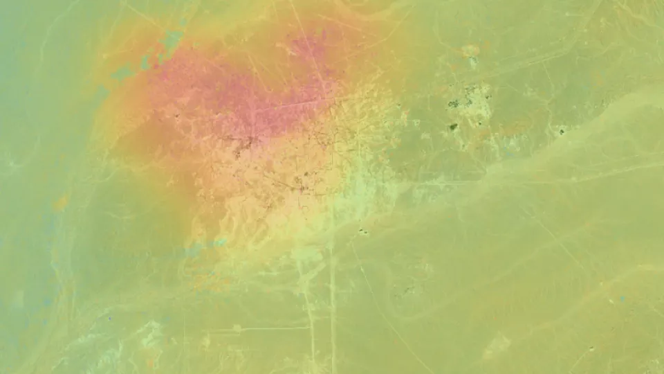
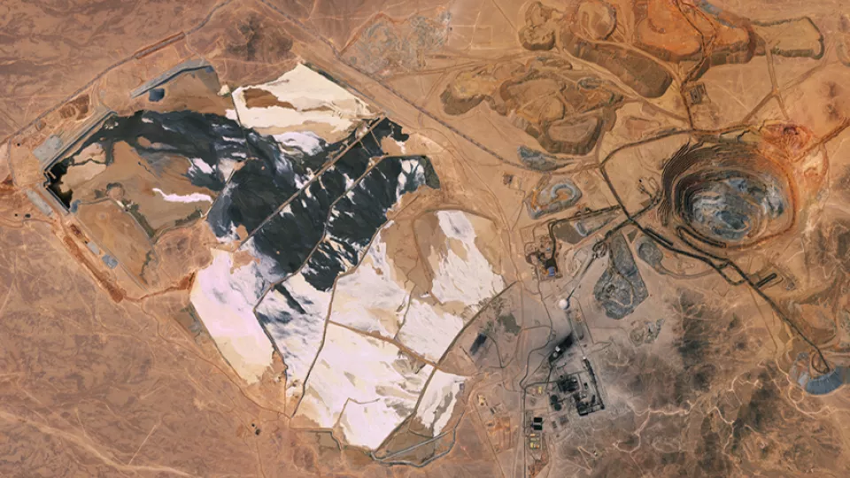
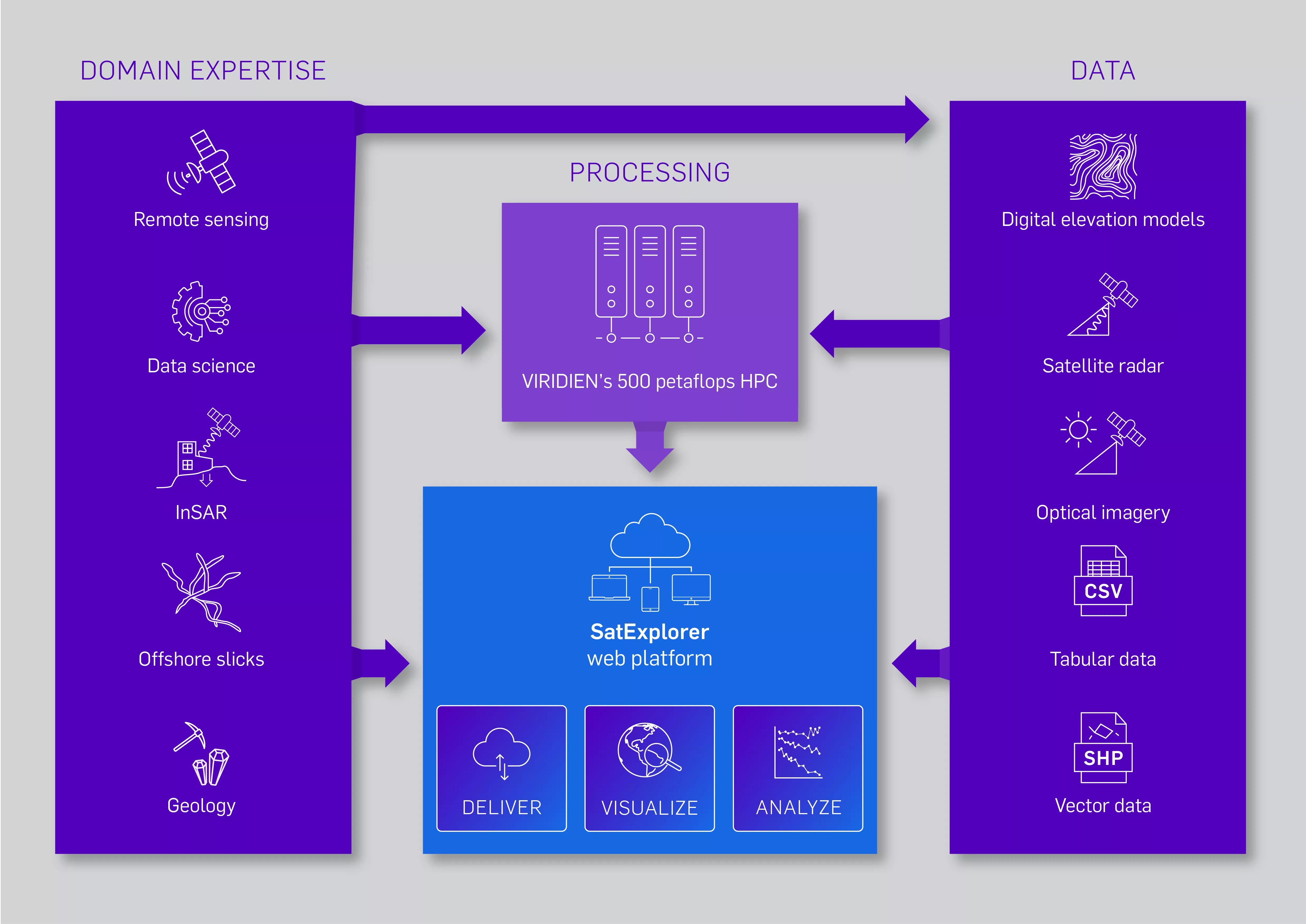
SatExplorer is a web-based platform that provides users with a secure and intuitive interface for examining satellite mapping data such as InSAR, optical imagery and elevation data, with a host of value-added layers generated by our experts to meet your objectives across a range of activities such as mine site monitoring.
- Interrogate data using a variety of visualization and analytical tools with Viridien Satellite Mapping team's expertise
- Filter, customize and export data in its raw format to create graphs ready for immediate analysis or use in your reporting
- Tap into our network of Earth Observation and data science specialists for the client support and expertise that we are known for


Satellite data analysis enhanced by our recognized HPC, cloud and AI expertise
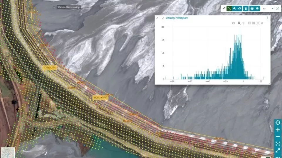
SatExplorer is hosted securely on the cloud, giving users greater freedom to utilize data on the move without needing to download big datasets.
Viridien is an industry leader in AI and high-performance computing (HPC), with over 500 petaFLOPS of compute power. Our data centers, cloud technology and AI lab help push the boundaries of what is possible with satellite data.
Why SatExplorer is your platform of choice for satellite data visualization & analysis
Deliver
Access your Viridien satellite mapping data securely, and create and export graphs, tables and images based on your custom visualization and analysis requirements.Visualize
Explore your datasets on any device. Switch between layers, see your live location, highlight threshold exceedances and more.
Analyze
Create custom graphs and tables, view statistics and interrogate time series, filter data, and export your outputs to share with stakeholders.SATEXPLORER PROVIDES YOU WITH THE BEST OF BOTH WORLDS
Trusted expertise and a high-end service, optimized by Viridien's advanced high-performance computing
SatExplorer — Frequently Asked Questions
Visit our blog to learn more about our satellite mapping activities
Read more about our unique models, mineral system-controlled deliverables, and expert minerals and mining consulting service