Survey Hazard Risk
A proactive, technology-driven approach to planning and risk management throughout survey life cycles
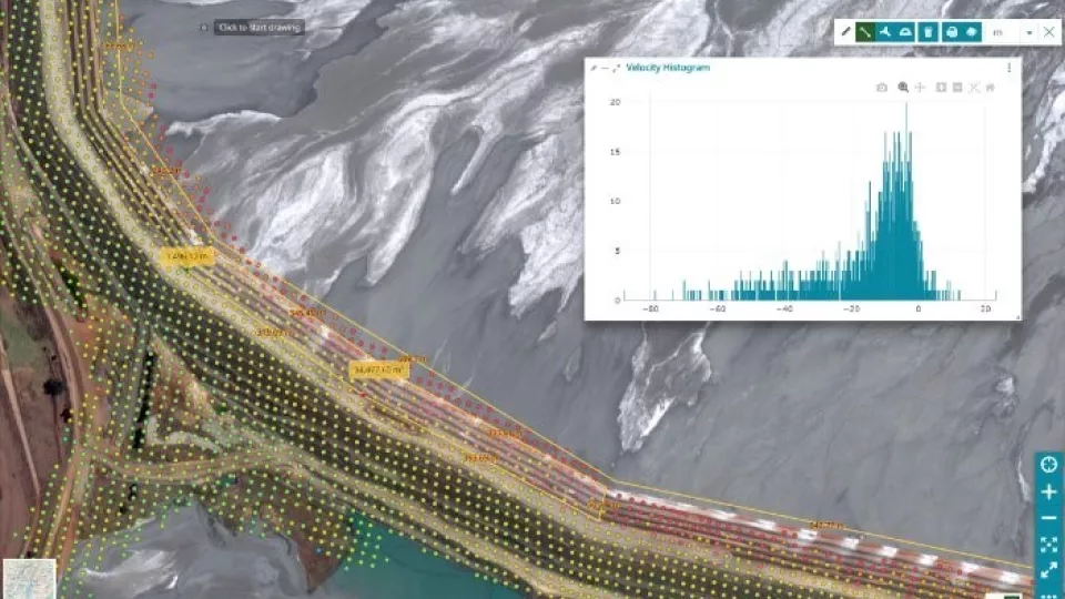
Our Survey Hazard Risk monitoring service leverages a multi-sensor approach for enhanced accuracy throughout the life cycle of marine seismic and other surveys. Through advanced data analytics, predictive modeling and the integration of contextual environmental controls, our experts accurately map predicted activity throughout your area to guide seismic route planning. The integration of high-performance computing ensures the efficient analysis of large data stacks to identify potential hazards during active operations providing a holistic solution for the duration of your survey.
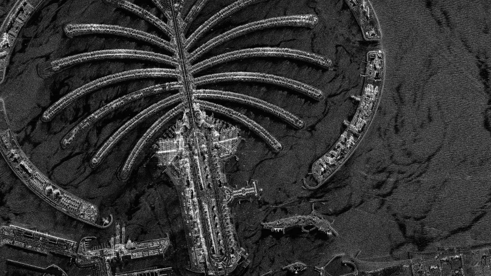
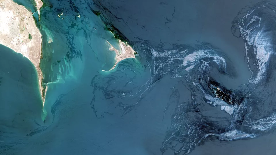
- Marine acquisition: get an overview of offshore vessel activity and the presence of potential obstacles that could be damaging to equipment and progress during operational surveys
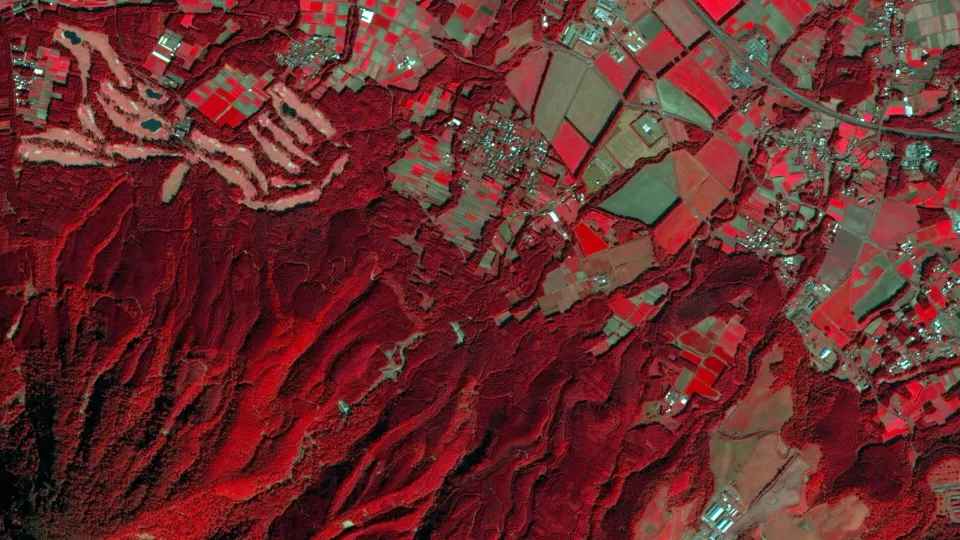
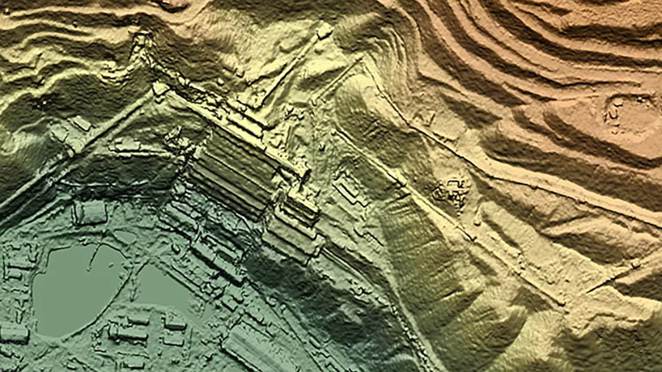
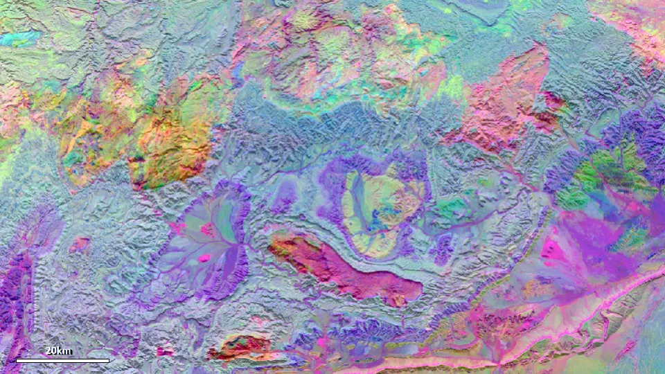
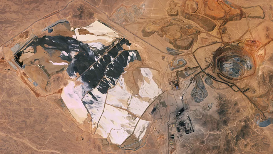
- Onshore acquisition: plan ahead with a site characteristics pre-survey
- Marine investors: navigate uncertainties in project timelines and safeguard investments
- Insurance: advanced data analytics and predictive modeling accurately identifies potential risks, empowering insurers to make informed decisions

“The project was affected by heightened challenges and delays, however Viridien's solution significantly contributed to the acquisition being completed within the project timeline" - Shearwater
Minimize losses and protect maritime assets
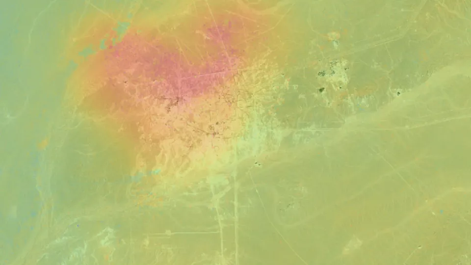
Viridien's Survey Hazard Risk offers pre-survey activity heatmaps and site characteristic analysis to strengthen situational awareness and optimize survey planning by providing proactive insight of activity within areas for upcoming surveys. Advanced data analytics and predictive modeling accurately identify potential risks, enabling insurers to make informed decisions.
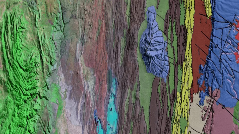
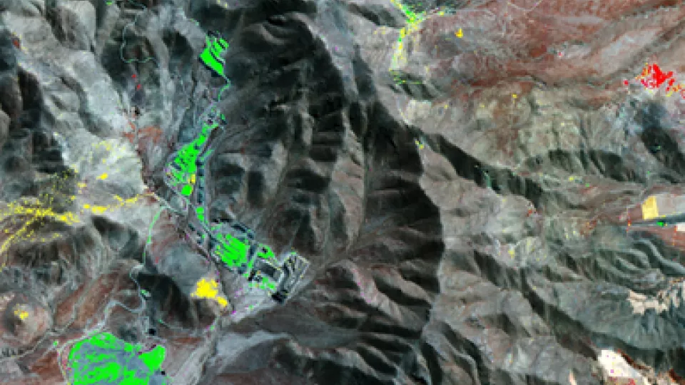
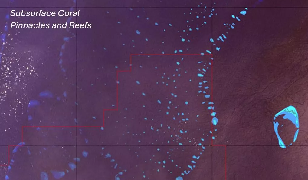
Detecting potential obstacles within license areas is crucial, providing valuable information to optimize scouting activities and prioritize the areas of highest risk. Additionally, a thorough survey planning methodology which includes better knowledge of hazards in the license area is paramount to increasing operational efficiency and ensuring HSE due diligence.
Get obstacle and hazard data delivered to your inbox before starting each phase of an offshore survey
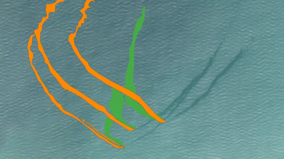
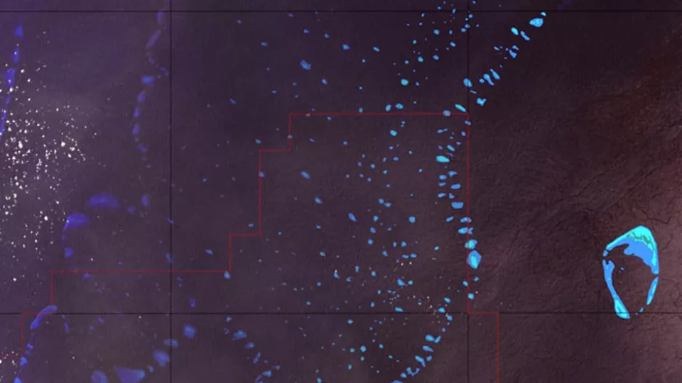
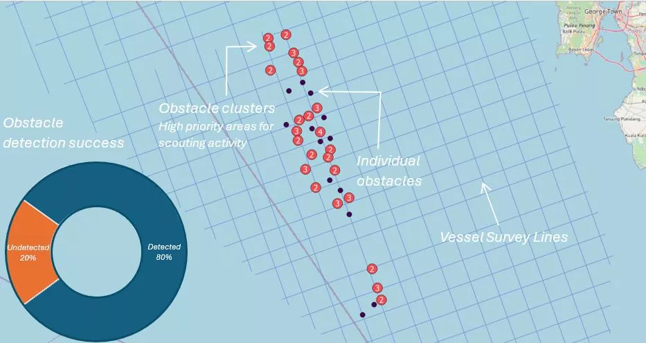
In a recent survey in Southeast Asia, Viridien’s Surface Hazard Risk service identified a range of threats including unmarked, unlicensed fishing buoys which can shred a seismic streamer, causing significant downtime and delay as well as repair and replacement costs. Throughout this project, we identified 80% of these buoys, including those lying just below the surface, allowing the operator's scouting vessels to efficiently clear a path ahead of the survey vessel.

Accessible via SatExplorer, a secure and intuitive platform
Our Survey Hazard Risk solution is delivered via SatExplorer, your one-stop platform for analyzing Viridien’s satellite mapping data hand-in-hand with support from domain experts.
GET IN TOUCH WITH AN EXPERT TO FIND OUT MORE