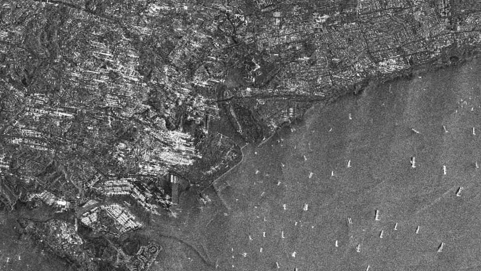
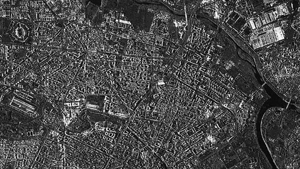
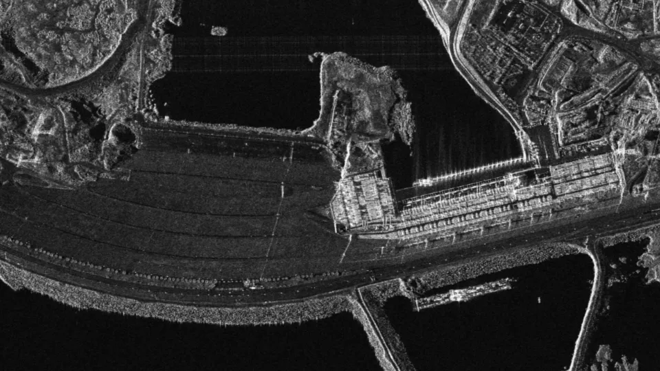
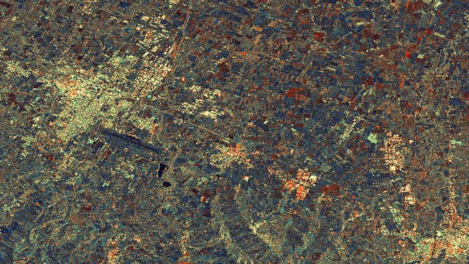
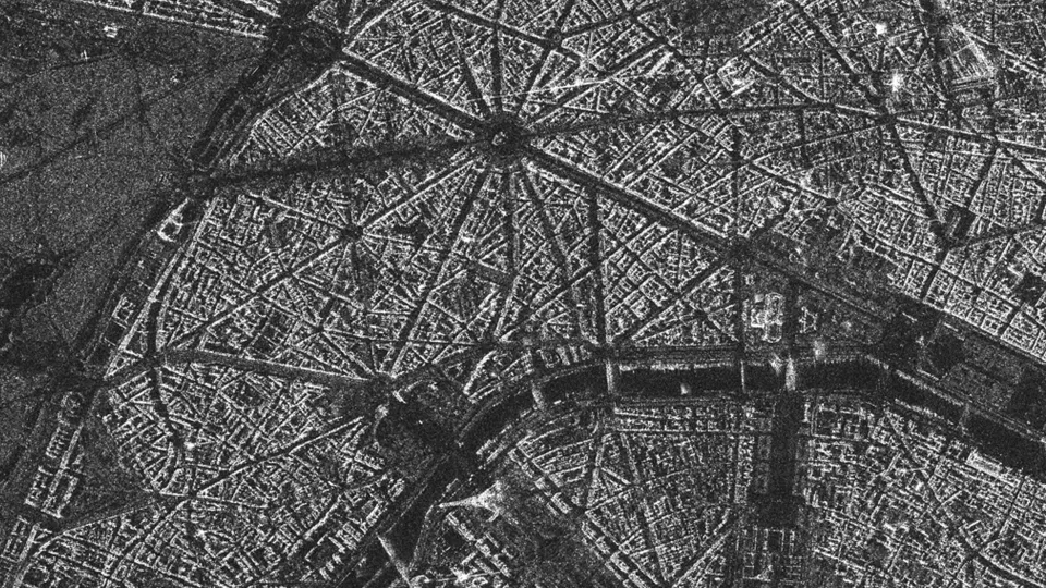
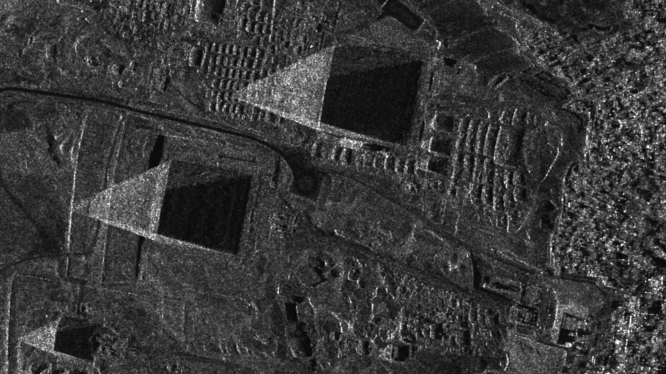
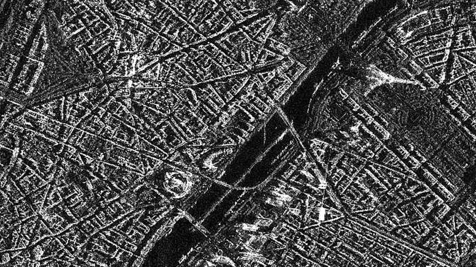
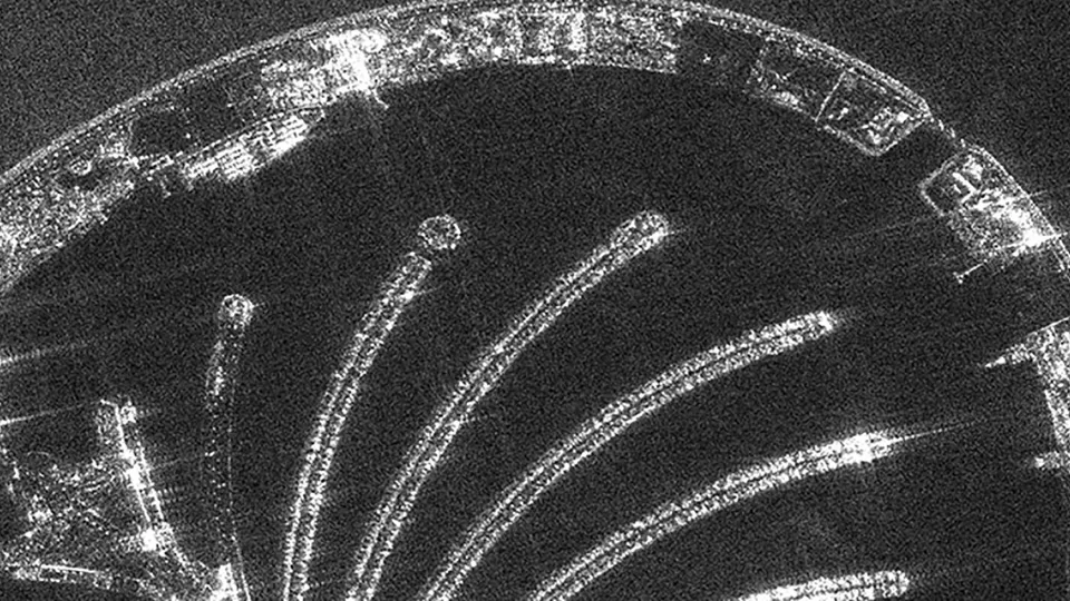
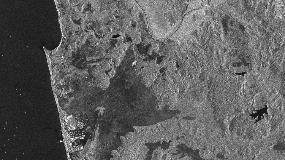
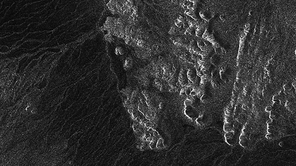
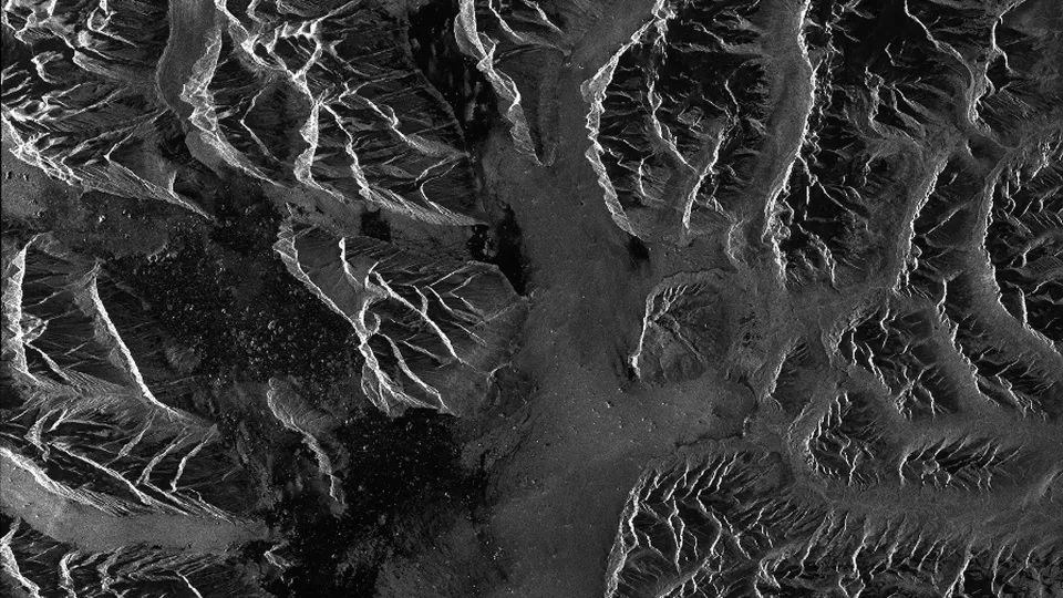
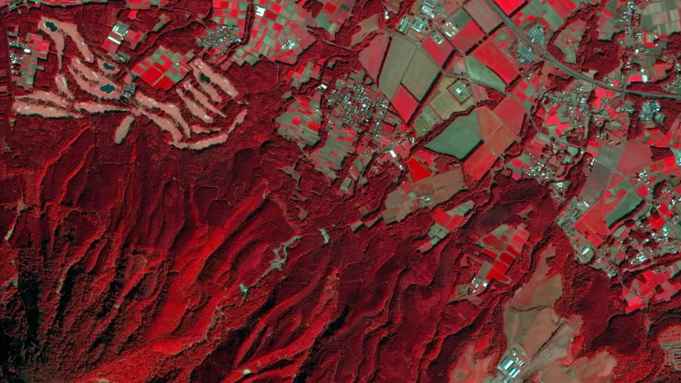
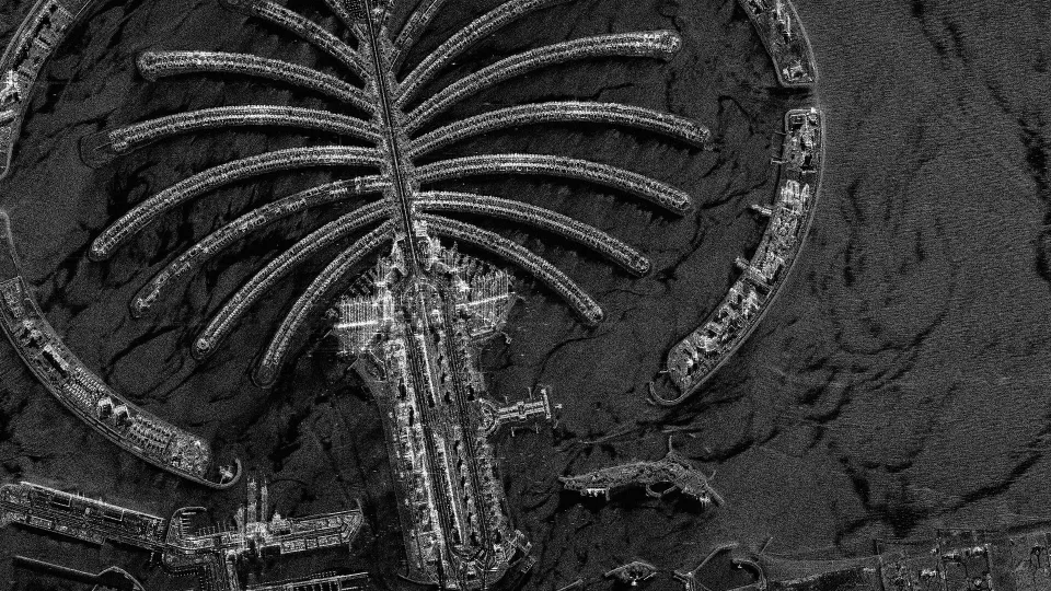
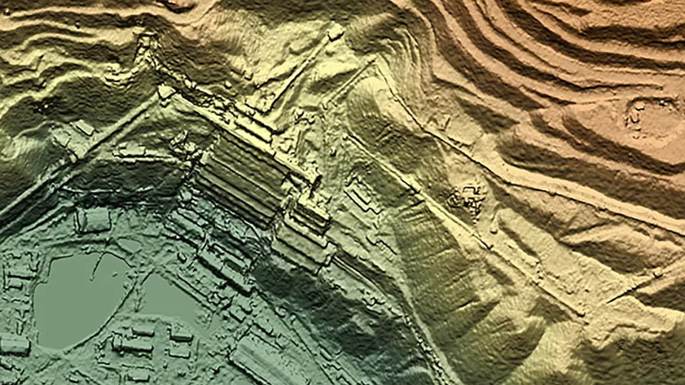
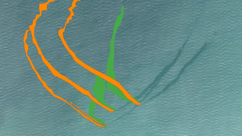
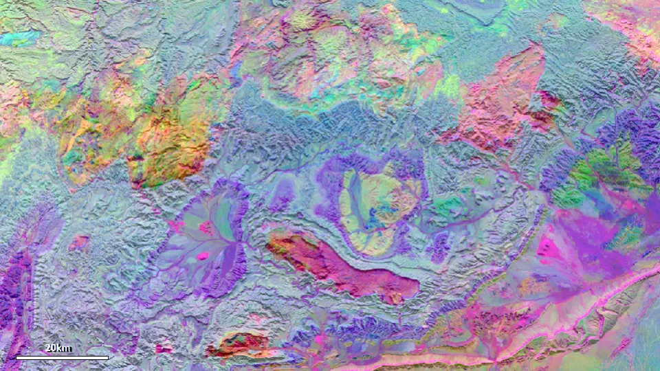
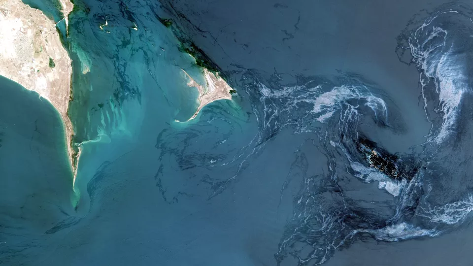
Radar Satellite Imagery
Access the highest-quality images from unbiased experts
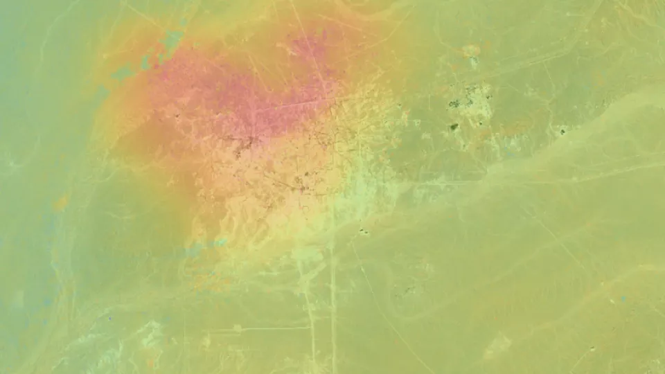
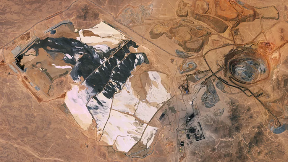
Our comprehensive, unbiased knowledge connects you with the best SAR satellite imagery and processing options to fulfill your project requirements. As an independent supplier for satellite operators around the globe, we provide comprehensive and impartial advice, every time. We supply and add value to SAR satellite imagery with ground resolutions ranging from 25 cm to 100 m.
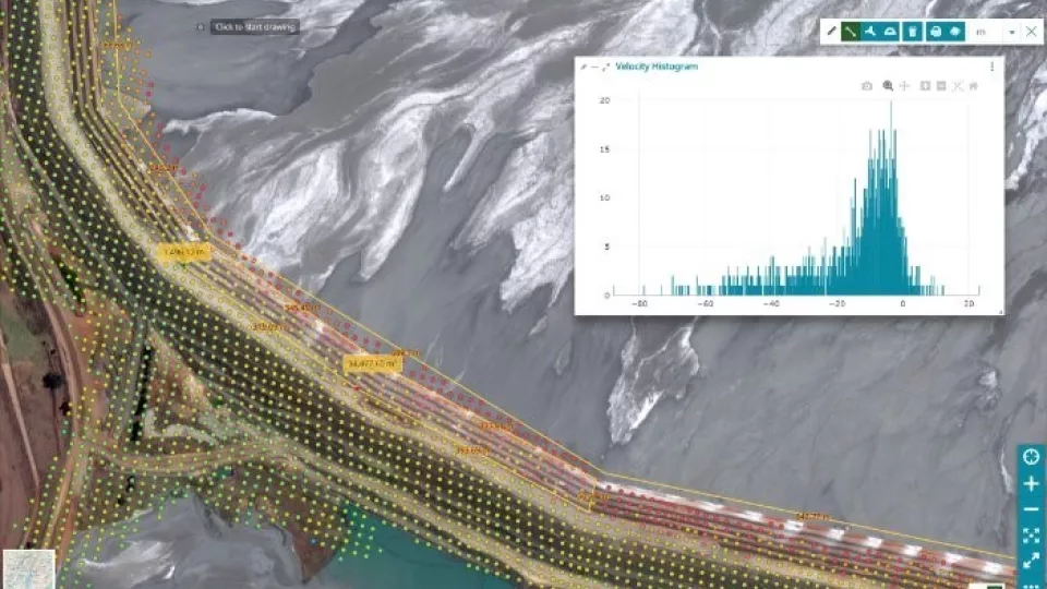
Our SAR data are delivered via SatExplorer, your one-stop platform for analyzing Viridien’s satellite mapping data hand-in-hand with support from domain experts.

Synthetic Aperture Radar Imagery