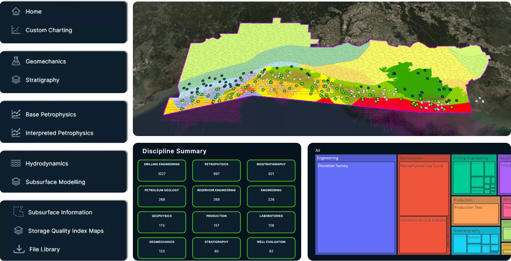
Investigate Further using GeoVerse Analytics
Maximize your productivity and increase confidence in your results suing robust cloud-hosted analytical tools powered by GeoVerse digital earth science. Our ready-to-go apps and user-friendly interface help to jumpstart your discoveries and can be customized to suit your preferences. Features include:
Tailored dashboards built to cater for your multidisciplinary needs
Full suite of graphical instruments to visualize subsurface geological data
GeoVerse Analytics Datasets

Carbon Storage Gulf of Mexico - GeoVerse Analytics
Carbon Storage GOM offers users with a unique perspective for screening the shallow water Gulf Coast.

Enhance your search with GeoVerse
GeoVerse Analytics breaks down the boundaries of global data, integrating all Viridien data into projects to truly benefit the consumer. Some of our key pillars include:
- Digital: Digitally transformed data-rich regional studies
- Spatial: Global play-level mapping and database coverage
- Consistency: Fully attributed data architecture and unique taxonomy
- Evergreening: Continually growing databases from non-proprietary fieldwork and public domain source


